
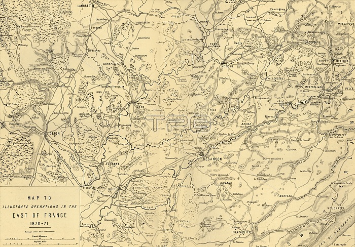
'Map to Illustrate Operations in the East of France 1870-71', c1872. Creator: R. Walker.
| px | px | dpi | = | cm | x | cm | = | MB |
Details
Creative#:
TOP25464057
Source:
達志影像
Authorization Type:
RM
Release Information:
須由TPG 完整授權
Model Release:
No
Property Release:
No
Right to Privacy:
No
Same folder images:
riverlinescountryFrenchFranceenemygeographywarlocationArmedForcescenturyconceptadversaryB&WArmywarfaredijonBourgogne19thcenturybattlefieldblack&whiteblackandwhiteB/WPrussianfrontlinenineteenthcenturyThePrintCollector1870-1871Franco-PrussianWargeographicalfeaturePrussiaTGNBesanconDoubsFranche-ComtemapfrontlinePrussianarmyRobertWalkerWilliamfoeWilliamMackenzieMackenzieHozierWalkerRobertBesan?onBourgogne-Franche-Comt?H.M.HozierH.M.HenryMontagueHozierHenryMontagueHMHozierHMSirHenryMontaguHozierR.WalkerWalkerR.WalkerRRWalker
&1870-187119thArmedArmyB&WB/WBesan?onBesanconBourgogneBourgogne-Franche-Comt?CollectorDoubsForcesFranceFranche-ComteFranco-PrussianFrenchHHH.H.HenryHenryHenryHozierHozierHozierHozierHozierMMM.M.MackenzieMackenzieMontaguMontagueMontaguePrintPrussiaPrussianPrussianRRR.R.RobertRobertSirTGNTheWalkerWalkerWalkerWalkerWalkerWalkerWarWilliamWilliamadversaryandarmybattlefieldblackblackcenturycenturycenturyconceptcountrydijonenemyfeaturefoefrontfrontlinegeographicalgeographylinelineslocationmapnineteenthriverwarwarfarewhitewhite
 Loading