
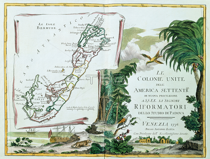
986112 A Map of Bermuda, 1775-85 (hand coloured engraving) by Italian School, (18th century); 17x13in cm; Private Collection; (add.info.: A Map of Bermuda; La Isole Bermude. Separate section published with Atlante Novissimo Illustrato ed Accresciuto sulle Osservazioni e Scoperte Fatte dai Piu Celebri e Piu Recenti Geografi by Antonio Zatta (1757-1797). Hand coloured engraving published Venice, 1775-85. 17 x 13in.); Photo 穢 Christie\'s Images.
| px | px | dpi | = | cm | x | cm | = | MB |
Details
Creative#:
TOP27253412
Source:
達志影像
Authorization Type:
RM
Release Information:
須由TPG 完整授權
Model Release:
No
Property Release:
No
Right to Privacy:
No
Same folder images:
coastcoastlineshorelineseamaritimeshiphandcoloured1780snopersoncoastlineitaliantextprinthand-tintedpalmnaturalspacelateeighteenthcenturyhandcoloringnavigationalequipmentshorelinelionsectionitalianschooleighteenthcentury18thcenturycolorhandcoloredeuropeanartistno-onetreehand-coloredpalmsitalianartprintshandcolouredislandpalmtreewatertransportlate18thcenturyitalianartistsceneryscenicgeographicbigcatmammalwatervehicleartisteuropeanmapanimalgeographyparrotnature1770sbermudascenenobodyislehand-colouringnopeoplehand-colouredfelineshorehandcoloredbirdengravedengravingcolourwatervesseltransportationhandcolouringvesseltransport17851775antoniozattaEngravingMzengravinghandcoloured1780snopersoncoastlineitaliantextprinthand-tintedpalmnaturalspacelateeighteenthcenturyhandcoloringnavigationalequipmentshorelinelionsectionitalianschooleighteenthcentury18thcenturycolorhandcoloredeuropeanartistno-onetreehand-coloredpalmsitalianartprintshandcolouredislandpalmtreewatertransportlate18thcenturyitalianartistsceneryscenicgeographicbigcatmammalwatervehicleartisteuropeanmapanimalgeographyparrotnature1770sbermudascenenobodyislehand-colouringnopeoplehand-colouredcoastalfelineshorehandcoloredbirdengravedengravingcolourwatervesseltransportationhandcolouringcoastvesseltransport17851775antoniozatta
1770s1770s177517751780s1780s1785178518th18th18th18thEngravingMzengravinganimalanimalantonioantonioartartartistartistartistartistartistartistbermudabermudabigbigbirdbirdcatcatcenturycenturycenturycenturycenturycenturycenturycenturycoastcoastcoastalcoastlinecoastlinecoastlinecolorcolorcoloredcoloredcoloringcoloringcolourcolourcolouredcolouredcolouringcolouringeighteentheighteentheighteentheighteenthengravedengravedengravingengravingequipmentequipmenteuropeaneuropeaneuropeaneuropeanfelinefelinegeographicgeographicgeographygeographyhandhandhandhandhandhandhandhandhand-coloredhand-coloredhand-colouredhand-colouredhand-colouringhand-colouringhand-tintedhand-tintedhandcoloredhandcoloredhandcolouredhandcolouredislandislandisleisleitalianitalianitalianitalianitalianitalianitalianitalianlatelatelatelatelionlionmammalmammalmapmapmaritimenaturalnaturalnaturenaturenavigationalnavigationalnonononono-oneno-onenobodynobodypalmpalmpalmpalmpalmspalmsparrotparrotpeoplepeoplepersonpersonprintprintprintsprintsscenescenescenerysceneryscenicscenicschoolschoolseasectionsectionshipshoreshoreshorelineshorelineshorelinespacespacetexttexttransporttransporttransporttransporttransportationtransportationtreetreetreetreevehiclevehiclevesselvesselvesselvesselwaterwaterwaterwaterwaterwaterzattazatta
 Loading