
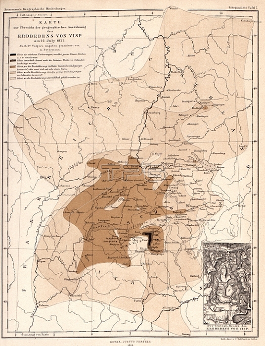
Map showing the geographical extent of the Visp earthquake on 25 July 1855; Map on the extent of damage caused by the earthquake at Visp; signed: signed by A. Petermann; Lith.; v; C. Hellfarth; Plate 7; ed. 1856; Petermann; August (gez.); Lith. Anst. v. C. Hellfarth (lith.); 1856; August Petermann: Mittheilungen aus Justus Perthes' geographischer Anstalt 黚er wichtige neue Erforschungen auf dem Gesammtgebiete der Geographie. Gotha: Perthes; 1856
| px | px | dpi | = | cm | x | cm | = | MB |
Details
Creative#:
TOP28097072
Source:
達志影像
Authorization Type:
RM
Release Information:
須由TPG 完整授權
Model Release:
No
Property Release:
No
Right to Privacy:
No
Same folder images:
 Loading