
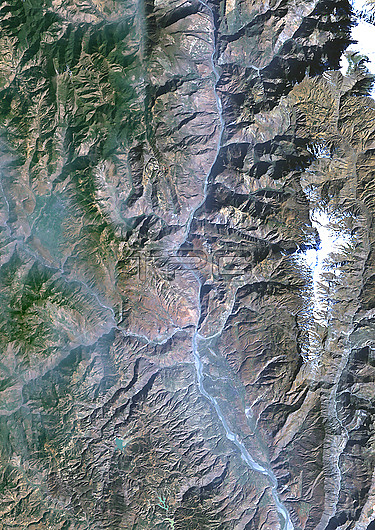
Colour satellite image of the Jinsha River in 1987, before the construction of the Baihetan Dam. The image shows the Jinsha River, an upper stretch of the Yangtze River in Sichuan and Yunnan provinces, in southwest China.
| px | px | dpi | = | cm | x | cm | = | MB |
Details
Creative#:
TOP29677059
Source:
達志影像
Authorization Type:
RM
Release Information:
須由TPG 完整授權
Model Release:
N/A
Property Release:
N/A
Right to Privacy:
No
Same folder images:
 Loading