
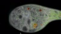
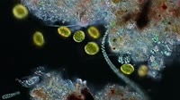
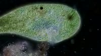
El Nino and La Nina effects on the oceans. Global map and animation based on satellite data, showing the effects of the El Nino/La Nina-Southern Oscillation (ENSO) a climate phenomenon that occurs across the tropical Pacific Ocean roughly every five years. The change being tracked here is sea surface phytoplankton, the basis of the ocean's food chains and the source of much of the oxygen in the atmosphere. The amount of phytoplankton is measured indirectly by the change in the colour of the oceans. Dark blue colours indicate areas with little to no amount of phytoplankton, whereas the yellow-green colours indicate areas with very high concentrations. Phytoplankton abundance is controlled by the availability of sunlight and nutrients. Winds over the ocean drive currents away from the coast and equator, creating a void at the surface that's filled by nutrient-rich water from the deep ocean upwelling to the sunlit surface. In the oceans, El Nino causes reduced upwelling, with warmer water and less phytoplankton. The opposite phase is called La Nina with more phytoplankton than normal. The animation initially shows the data gathered from 1997 to 2013. This is followed by labelled examples of El Nino (1 minute 20 seconds) and La Nina (1 minute 35 seconds). These examples are followed by the impact on fisheries and other aquatic wildlife. From 1 minute 50 seconds, fisheries of anchovies around South America, squid off California, and salmon around the Pacific are shown, followed by pictures of the animals that depend upon them such as sea lions, seals and sea birds. From 3 minutes 18 seconds to the end of the clip at 4 minutes 20 seconds, a full loop of the dataset is shown again.


Details
WebID:
C01838650
Clip Type:
RM
Super High Res Size:
1920X1080
Duration:
00:04:20.000
Format:
QuickTime
Bit Rate:
30 fps
Available:
download
Comp:
200X112 (0.00 M)
Model Release:
NO
Property Release
No
 Loading