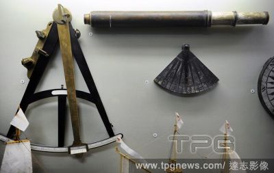
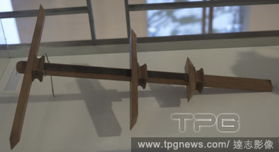
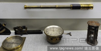
EditorialBallestilla (Jacob's staff). Navigational instrument used to calculate the height of the sun and other celestial bodies over the horizon for use in nautical navigation. 16th century. Mar?a Pita House Museum. Corunna, Galicia, Spain.
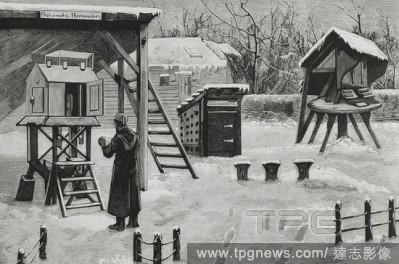
EditorialEngland. Royal Observatory, Greenwich. It was founded for navigational purposes by King Charles II in 1675. New procedure to obtain photographs of thermometer alterations. Engraving. La Ilustracion Espa?ola y Americana, 1881.
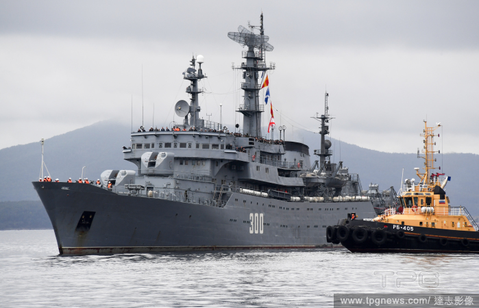
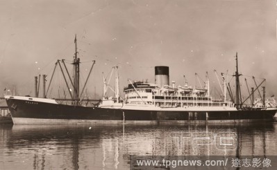
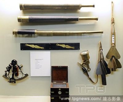
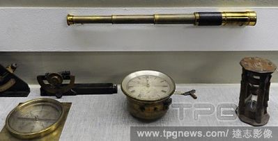
EditorialNegative - SS Peleus Docked at Unknown Port, circa 1949, View of the Blue Funnel shipping line ship SS Peleus docked at an unknown port. One of six black and white copy negatives depicting ships and maritime navigational tools that relate to Mr Martin ...
EditorialNegative - SS Peleus Docked at Unknown Port, circa 1949, View of the Blue Funnel shipping line ship SS Peleus docked at an unknown port. One of six black and white copy negatives depicting ships and maritime navigational tools that relate to Mr Martin ...
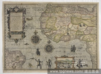
EditorialA 16th century map of Africa. Haec Tabella Hydrographice oras maritimas Africae a promontorio dicto Capo de Cantin, Angolam usque ob oculos ponit ... Johannes a Doetechum fecit. [Amsterdam] : [Cornelis Claesz], [ca. 1595]. Attributed to Petrus Planciu...
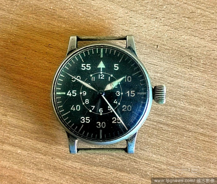
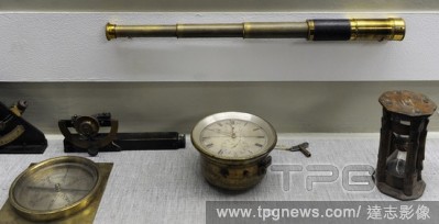
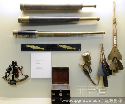
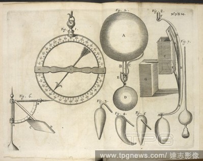
EditorialDiagrams showing navigational instruments, to accompany an article on 'directions for observations and experiments to be made by masters of ships, pilots, and other fit persons in their sea voyages. (See file F60174-25.). Philosophical transactions of ...
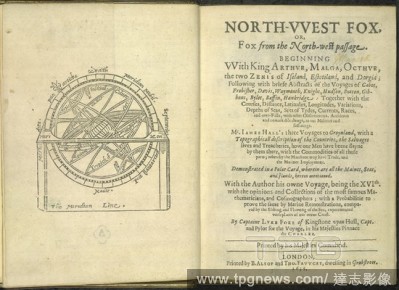
EditorialNavigational diagram. North-west Fox; or Fox from the North-West Passage. London, 1635. Navigational diagram and title page. Image taken from North-west Fox; or Fox from the North-West Passage Originally published/produced in London, 1635. . Source: ...


 Loading