
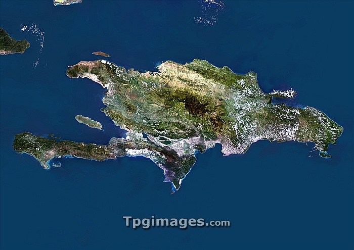
Hispaniola. Satellite image of the island of Hispaniola in the Caribbean Sea. North is at top. Hispaniola is divided into the Republic of Haiti to the west, and the Dominican Republic to the east. Composite image from Landsat 5 and 7 satellites.
| px | px | dpi | = | cm | x | cm | = | MB |
Details
Creative#:
TOP06671855
Source:
達志影像
Authorization Type:
RM
Release Information:
須由TPG 完整授權
Model Release:
NO
Property Release:
NO
Right to Privacy:
No
Same folder images:
 Loading