
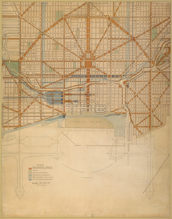
Plate 111 from The Plan of Chicago, 1909: Chicago. Plan of the Center of the City, Showing the... Creator: Daniel Burnham.
| px | px | dpi | = | cm | x | cm | = | MB |
Details
Creative#:
TOP26802396
Source:
達志影像
Authorization Type:
RM
Release Information:
須由TPG 完整授權
Model Release:
No
Property Release:
No
Right to Privacy:
No
Same folder images:
transporttransportationcityroadplanningcomplexityhistoricalarchitectureartscountrydetailharbourartgridcolorbrownboulevardChicagoIllinoislocationcenturyarchitecturaldrawinggallerynetworkinkplancomplexconceptlayouttownplanningwatercolourartgalleryUnitedStatesofAmericaColourdescription1900s20thcenturyurbanplanningAmericanhistoryhistoricAmericaUSATGNstreetwatercolourinkmapunitedstatesArtInstituteofChicagoartcentreHeritageArtinkandwatercoloronpaperArtInstituteChicagoArchitectureandDesignDanielBurnhamBurnhamDanielDanielHudsonBurnhamDHBurnham&CoDHBurnham
&1900s20thAmericaAmericaAmericanArchitectureArtArtArtBurnhamBurnhamBurnhamBurnhamBurnhamChicagoChicagoChicagoCoColourDHDHDanielDanielDanielDesignHeritageHudsonIllinoisInstituteInstituteStatesTGNUSAUnitedandandarchitecturalarchitectureartartartartsboulevardbrowncentrecenturycenturycitycolorcomplexcomplexityconceptcountrydescriptiondetaildrawinggallerygallerygridharbourhistorichistoricalhistoryinkinkinklayoutlocationmapnetworkofofonpaperplanplanningplanningplanningroadstatesstreettowntransporttransportationunitedurbanwatercolorwatercolourwatercolour
 Loading