
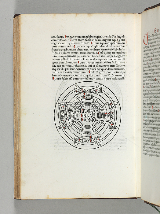
3482941 Mappa Mundi, the first printed map of the world, from \'Etymologiae\' by Isidorus Hispalensis, Augsburg: Gunther Zainer, 19 November 1472 (woodcut) by German School, (15th century); 31.1x20.8 cm; Private Collection; (add.info.: ISIDORUS HISPALENSIS (ca 560-636). Etymologiae. [Augsburg:] Gunther Zainer, 19 November 1472. Chancery 2o (311 x 208 mm). Collation: [14; 210(6+1) 3-1310 148(+- 3;3+1) 15-2410 258; 2610 2710(9+2)]. 264 leaves. 38 lines, the table in double column. Type: 3:107R. Three full-page woodcuts on 14/5v and 14/6r-v (foredges cropped within image), small woodcut map on 19/7v. Small woodcut mathematical and lunar symbols in text on 6/1r,2r and 6/8r. 3-, 5- 6- and 7-line initial spaces, printed guide-letters in quires 23-25 only; spaces for Greek words in the text. Initials, capital strokes and part numbers supplied in red. The table with printed word "Finit" as in BMC IB. 5440. (12/6 with marginal repaired tear, 15/5 with two pale stains, 21/3 and 4 with pale marginal dampstain, 27/11 with inner margin renewed, some occasional pale browning at extreme top margin.) Early 18th-century russia gilt, spine gilt, Wodhull\'s arms in gilt at center of front cover (rebacked preserving original spine panel). Provenance: Michael Wodhull (1740-1816), noted book collector and bibliophile, classical scholar and first English translator of Euripides, who "bought with great judgement," according to de Ricci (signature and note of purchase of 1 May 1794 from the Hayes sale, purchased for 5s 5d, binding for a cost of 17d) -- Wodhull-Severne sale, 1886, lot 1344 -- Hans Meyer (manuscript ex libris) -- Clifford Rattey (bookplate) -- Acquired from Jacob Zeitlin, 1972. FIRST EDITION, CONTAINING THE FIRST PRINTED MAP OF THE WORLD. THE FIRST PRINTED MAP. It is the most rudimentary of T-O maps, a type which originated in the 5th century B.C., and was perpetuated, in a Christianized version, in manuscripts of the Etymologiae from the 8th century. In this basic type the disc of the world is divided into three zones separated by a T-shaped Mediterranean Sea, with Asia uppermost, and Europe and Africa in the two lower sections, the whole circumscribed by the world ocean. Each continent bears the additional name of the son of Noah who was said to have settled it.); Photo 穢 Christie\'s Images.
| px | px | dpi | = | cm | x | cm | = | MB |
Details
Creative#:
TOP27537837
Source:
達志影像
Authorization Type:
RM
Release Information:
須由TPG 完整授權
Model Release:
No
Property Release:
No
Right to Privacy:
No
Same folder images:
 Loading