
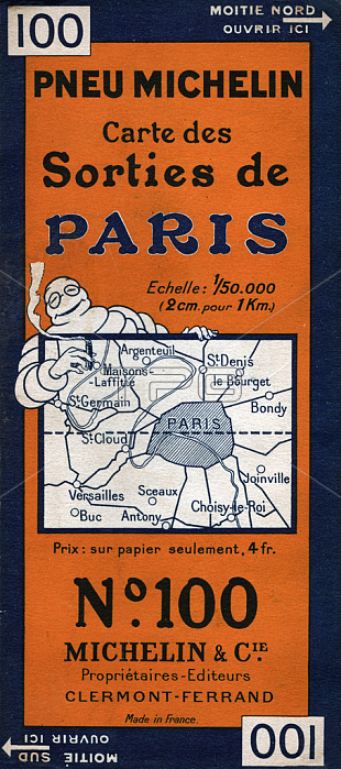
5975932 Map of Paris. (Illustration, circa 1930) by Rossillon, Marius (O\'Galop) (1867-1946); Private Collection; (add.info.: Geography. France. Map of outings from Paris. Map of the Michelin Pneux, France, circa 1930. Coll. Part.); Photo 穢 CCI.
| px | px | dpi | = | cm | x | cm | = | MB |
Details
Creative#:
TOP28682104
Source:
達志影像
Authorization Type:
RM
Release Information:
須由TPG 完整授權
Model Release:
no
Property Release:
no
Right to Privacy:
No
Same folder images:
20thcentury20centuryXXcenturyXXthcenturytwentiethcenturyc20th2020thxxxxthtwentiethcentury2020thxxxxthcentury2020th20thXXXXth20thcentury20thearlytwentiethcenturymid-20thcenturyaccessory1930s30sthirties1930\'s1930-19391933-341930-1939years30\'s1930-1939years3030sYears1930-Years30-YearsThirtyNineteenThirties19301939carcarsautomobileautomobilestransporttranporttransportationpassengertransportationmeansoftransportModeofTransportballgameplayergamesgeographicalmapcartographygeographyFrancefrenchfrancefrenchEuropeeuropeanfictionalcharacterfictionalcharactersfantasycharacteradvertisingadvertadvertizingadvertingadverisementsadvertisementAdvertadvertisingcompanyadvertiseadvertisementsadvertsadvertismentadvertisersadvertisingbrandadvertisingagencyillustrationillustrations#002automotiveoutskirtsbibendummichelinmancaoutchoucbecausecardindustryindustrymapMichelinparistiresuburbshoottyre
#002--19301930-19391930-19391930-1939193019391930\'s1930s1933-342020202020th20th20th20th20th20th20th303030\'s30s30sAdvertEuropeFranceMichelinModeNineteenThirtiesThirtyTransportXXXXXXthXXthYearsYearsYearsaccessoryadverisementsadvertadvertingadvertiseadvertisementadvertisementsadvertisersadvertisingadvertisingadvertisingadvertisingadvertismentadvertizingadvertsagencyautomobileautomobilesautomotiveballbecausebibendumbrandc20thcaoutchouccarcardcarscartographycenturycenturycenturycenturycenturycenturycenturycenturycenturycenturycharactercharactercharacterscompanyearlyeuropeanfantasyfictionalfictionalfrancefrenchfrenchgamegamesgeographicalgeographyillustrationillustrationsindustryindustrymanmapmapmeansmichelinmid-20thofofoutskirtsparispassengerplayershootsuburbthirtiestiretranporttransporttransporttransportationtransportationtwentiethtwentiethtwentiethtyrexxxxxxthxxthyearsyears
 Loading