
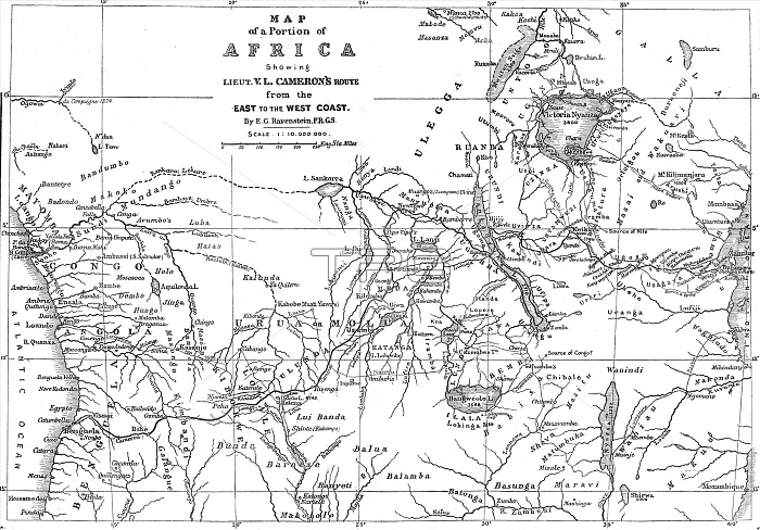
Map of a Portion of Africa, showing...Camerons Route from the East to the West Coast...1876. Creator: Ernst Ravenstein.
| px | px | dpi | = | cm | x | cm | = | MB |
Details
Creative#:
TOP29421955
Source:
達志影像
Authorization Type:
RM
Release Information:
須由TPG 完整授權
Model Release:
Not Required
Property Release:
Not Required
Right to Privacy:
No
Same folder images:
travelriverriversAfricaartslakelakesexplorationartBritishgeographycolorTanzaniaZanzibarroutesourcecenturyBritainexploringnewspaperspressprintconceptnavigationAngolaB&WengravedengravingColour19thcenturyblack&whiteblackandwhiteB/WwhiteandblacknineteenthcenturyThePrintCollectorCongoRivergeographicalfeatureIllustratedLondonNewsLakeTanganyikaRiverCongoTGNILNnewspapermapCameron19th-centuryVerneyLovettCameronVerneyLovettErnstRavensteinErnstGeorgRavensteinRavensteinErnstGeorgRavensteinErnst
&19th19th-centuryAfricaAngolaB&WB/WBritainBritishCameronCameronCollectorColourCongoCongoErnstErnstErnstErnstGeorgGeorgILNIllustratedLakeLondonLovettLovettNewsPrintRavensteinRavensteinRavensteinRavensteinRiverRiverTGNTanganyikaTanzaniaTheVerneyVerneyZanzibarandandartartsblackblackblackcenturycenturycenturycolorconceptengravedengravingexplorationexploringfeaturegeographicalgeographylakelakesmapnavigationnewspapernewspapersnineteenthpressprintriverriversroutesourcetravelwhitewhitewhite
 Loading