
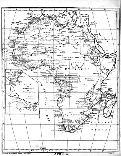
19th century map of Africa from the 'Encyclopaedia Londinensis, or, Universal Dictionary of Arts, Sciences and Literature; Volume I. Edited by John Wilkes. Published in London, Great, Britain, in 1810.
| px | px | dpi | = | cm | x | cm | = | MB |
Details
Creative#:
TPG33141091
Source:
達志影像
Authorization Type:
RF
Release Information:
須由TPG 完整授權
Model Release:
N/A
Property Release:
N/A
Right to Privacy:
No
Same folder images:
19thcenturymapsmapAfricacontinentMercatorAncientoldAfricanNineteenthcenturybookatlasgeographicalgeographycartographyageddiscoveryhistoricallandworldClassicalhistorichistoryscaletopographywoodcuttingtopographicalcopperplateengravedengravingEncyclopaediaLondinensisEncyclopediaUniversaldictionaryartsliteraturewoodcutblackandwhitemonochromenobodyno-one
19thAfricaAfricanAncientClassicalEncyclopaediaEncyclopediaLondinensisMercatorNineteenthUniversalagedandartsatlasblackbookcartographycenturycenturycontinentcopperplatedictionarydiscoveryengravedengravinggeographicalgeographyhistorichistoricalhistorylandliteraturemapmapsmonochromeno-onenobodyoldscaletopographicaltopographywhitewoodcutwoodcuttingworld
 Loading