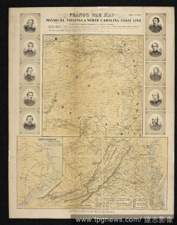
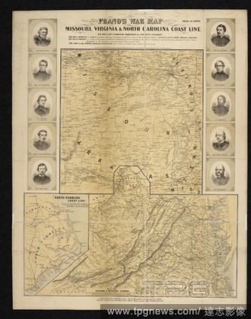
EditorialA map of the Missouri, Virginia and North Carolina coastline. Prang's War Map. Missouri, Virginia and North Carolina Coast Line. 1861. Source: Maps 71495.(55.). Language: English.
EditorialA map of the Missouri, Virginia and North Carolina coastline. Prang's War Map. Missouri, Virginia and North Carolina Coast Line. 1861. Source: Maps 71495.(55.). Language: English.
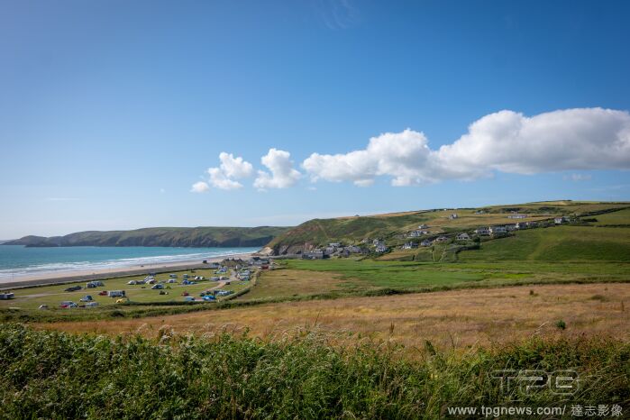
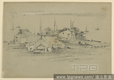
EditorialFishing Village, Arnold William Brunner, American, 18571925, Graphite and white heightening on grey paper, Houses, center foreground. Sailboats in bay. Low ridge; coast line, beyond., USA, ca. 1883, seascapes, Drawing, Drawing.
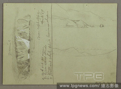
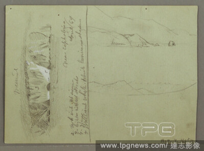
EditorialBare Hill, Acropolis at Corinth, Greece, Frederic Edwin Church, American, 18261900, Recto: Graphite on green paper Verso: Graphite, brush with white gouache on green paper, Recto: Horizontal view of a bare hill, Verso: Horizontal view at top of a coast...
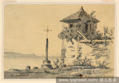
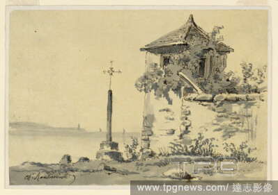
EditorialAt the Shore of a Bay, Charles Nicolas Ransonnette, French, 1793 - 1877, Pen and ink, brush and gray watercolor on tissue paper, A pavilion at the corner of a garden wall and a cross are shown in the first plane. A coast line and a lighthouse are beyin...
EditorialAt the Coast of the Mediterranean Sea, Charles Nicolas Ransonnette, French, 1793 - 1877, Graphite, brush and brown watercolors on paper; Verso: Black crayon on thick paper., Trees and bushes stand in the first plane. Down below are hoses and the water....
EditorialWilliam Trost Richards, The Coast Line, 1871, gouache with traces of graphite on brown wove paper, 5 1/8 in. x 9 7/8 in. (13.02 cm x 25.08 cm).
EditorialView of a Coast Line (from Sketches on the Coast Survey Plate), 1854?55, Etching; proof impression of the only state (Glasgow 1); this is a fragment cut from the upper portion of 'Sketches on the Coast Survey Plate' (Kennedy no. 1) by Whistler and moun...
EditorialSpain, Andalusia, Almeria province, Carboneras. Saint Andrew's Castle. The isolation of the village involved a danger due to the Berber pirates. A better protective system was planned by means of the establishment of permanent troops and the constructi...
EditorialA map of the Missouri, Virginia and North Carolina coastline. Prang's War Map. Missouri, Virginia and North Carolina Coast Line. 1861. Source: Maps 71495.(55.). Language: English.
EditorialView of a Coast Line (from Sketches on the Coast Survey Plate), 1854?55, Etching; proof impression of the only state (Glasgow 1); this is a fragment cut from the upper portion of 'Sketches on the Coast Survey Plate' (Kennedy no. 1) by Whistler and moun...


 Loading